

Total snowfall expected is 5 to 10 cm with higher amounts possible, especially over higher terrain.
Tomorrow’s travel is expected to be hazardous due to reduced visibility in a large part of the island including the west coast. Starting late overnight tonight into Wednesday morning, fresh snowfall and strong winds will combine to cause a period of blowing snow until the snow eventually tapers off or transitions through freezing precipitation to rain. Poor visibility in snow and blowing snow is expected or occurring in some locations. Total snowfall expected is 5 to 10 cm with higher amounts possible, especially over higher terrain. Maximum wind gusts will be southeasterly 60 to 80 km/h.
 Corner Brook city council spent close to $9,000 less on travel
 St. John's RNC looking for missing 33-year-old woman
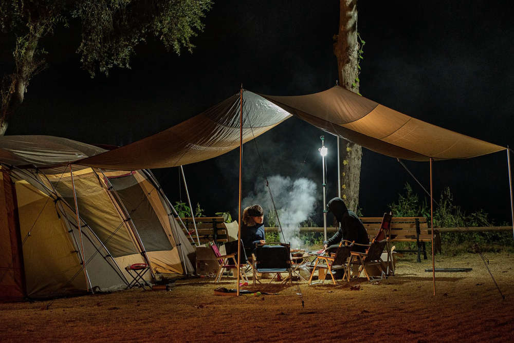 ParksNL launches reservations next week for the 2025 Camping season
 Funding has been approved to plan for 13 new affordable units in Corner Brook
 Bayfm News features Sarah Parsons, NDP candidate for Long Range Mountains